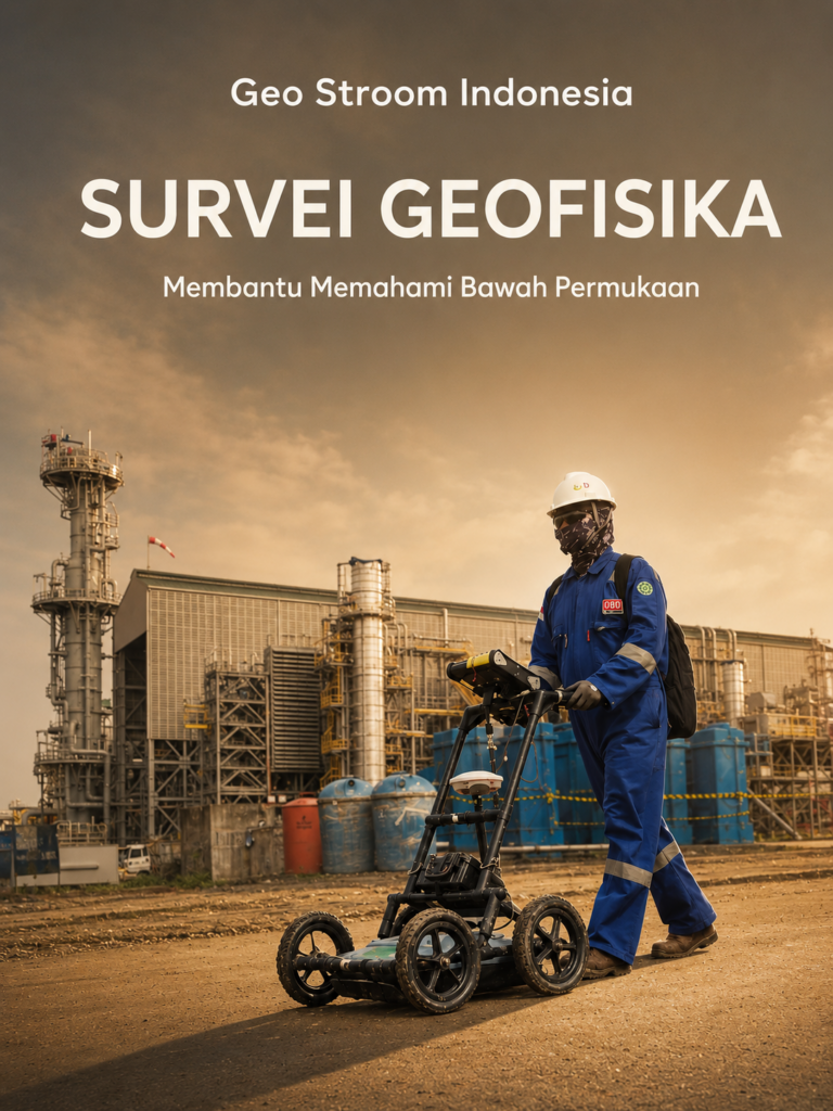
Geophysical Survey
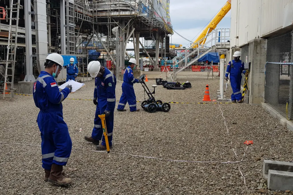
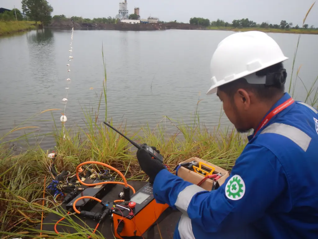
Cable Locator, Drone Magnetic Survey, Electrical Resistivity, Ground Penetrating Radar (GPR), Ground Magnetic Survey, MASW, Passive Seismic, PS Logging, Thermal Conductivity.

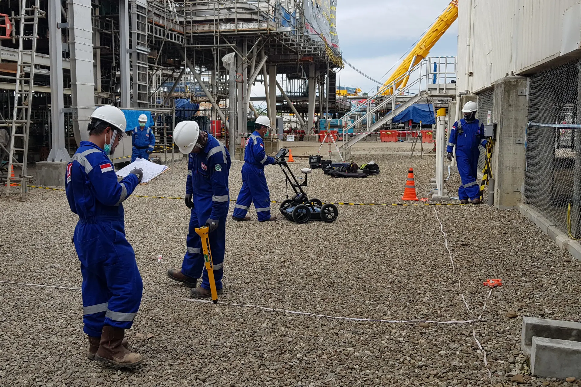
We provide end-to-end geophysical and geological survey services, from planning and field data acquisition to processing and interpretation. With an integrated approach, we deliver accurate and reliable subsurface information to support your technical decisions and the success of your project, now and in the future.
Cable Locator, Drone Magnetic Survey, Electrical Resistivity, Ground Penetrating Radar (GPR), Ground Magnetic Survey, MASW, Passive Seismic, PS Logging, Thermal Conductivity.
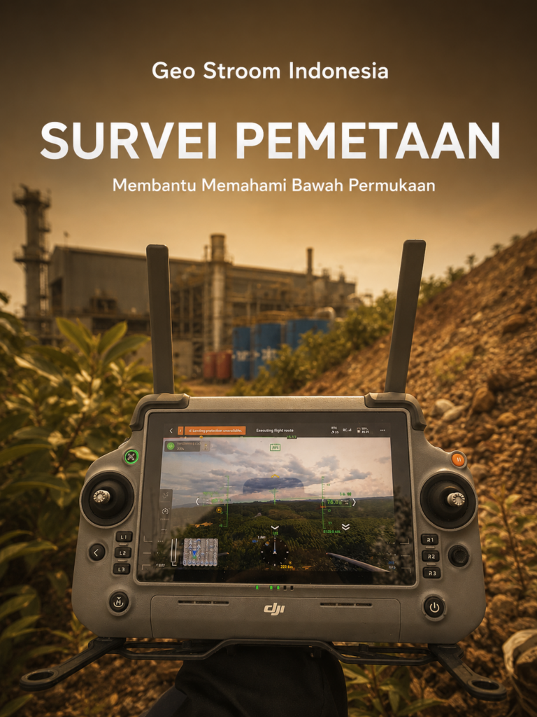
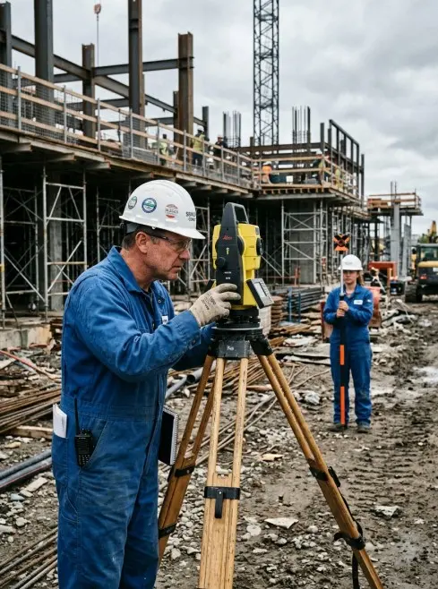
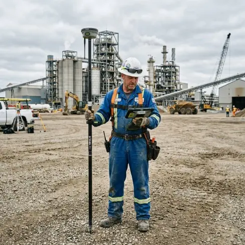
Topographic Survey, UAV Mapping, Terrestrial Laser Scanning (TLS), LiDAR, GNSS Survey.
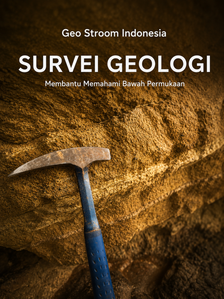
Geological Mapping, Hydrogeological Survey, Geotechnical Site Investigation.
Why Choose Us
We provide professional geophysical and geological survey services, backed by specialists, modern technology, and strategic partnerships to meet the needs of every project.
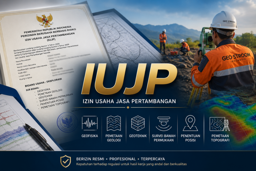
Geo Stroom Indonesia holds a Mining Services Business License (Izin Usaha Jasa Pertambangan, IUJP) covering exploration, with the subfields of geophysics, geological mapping, geotechnics, subsurface surveys, positioning, and topographic mapping.
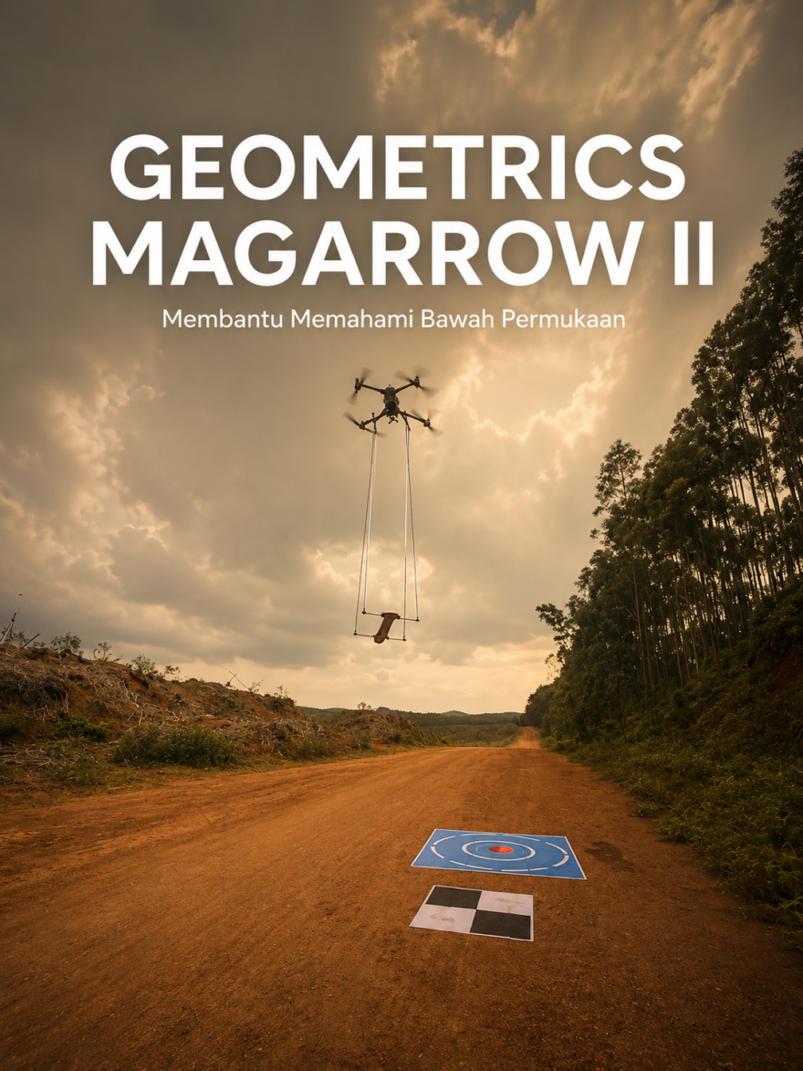
We have handled a wide range of geophysical and geological projects, with a commitment to keep raising the quality of our services through innovation and continuous development.
Gallery